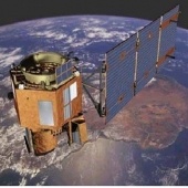
Guide to Remote Sensing
Remote sensing is the process of gathering data about an object using tools that are not in direct contact with that object. Remote Sensing is widely used in Earth Science to study properties of the Earth such as lake or sea surface temperature, ocean color and vegetation. Read more in this teacher’s guide.
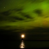
Aurora Borealis or “Northern Lights“
The effect is named after the Roman goddess of dawn, Aurora, and the Greek name for the north wind, Boreas. Sometimes, the northern lights can be seen here in the Keweenaw, but activity has been low since 2007. These lights displays are caused by the collision of energetic charged particles with atoms in the atmosphere. Learn more about the science behind the lights, as well as find links to forecasts, and photos.
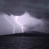
Lightning
The World Wide Lightning Location Network monitors over 1,500 volcanoes for ash lighting, and is updated every minute. A network of sferic sensors produces regular maps of lightning activity over the entire Earth.
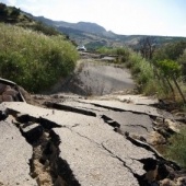
Earthquakes
Learn about UPSeis, a program to teach people more about the planet we live on and how it works. Just some of the questions that will be answered, include:
- What is Seismology?
- What are Seismic waves?
- Where do earthquakes happen?
- How are earthquakes studied?
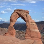
Geology of Utah’s National Parks
This course is designed to bring together professional teachers, undergraduate students that are interested in secondary science education, and undergraduate geoscience majors for a two-week-long field course. The goals of the course are to provide undergraduate students and teachers with meaningful field experiences, and to encourage motivated and well-trained geoscientists to enter the teaching profession.