Equip Yourself With Fundamental Skills in Geographic Information Science.
Geographic Information Science (GI Science) is an exciting, growing, multidisciplinary field that focuses on the study of geographic information, spatial data, as well as their applications. Combining principles from geography, computer science, mathematics, and various other disciplines, GI Science has the ambitious goal of understanding, analyzing, and modeling the spatial aspects of the world.
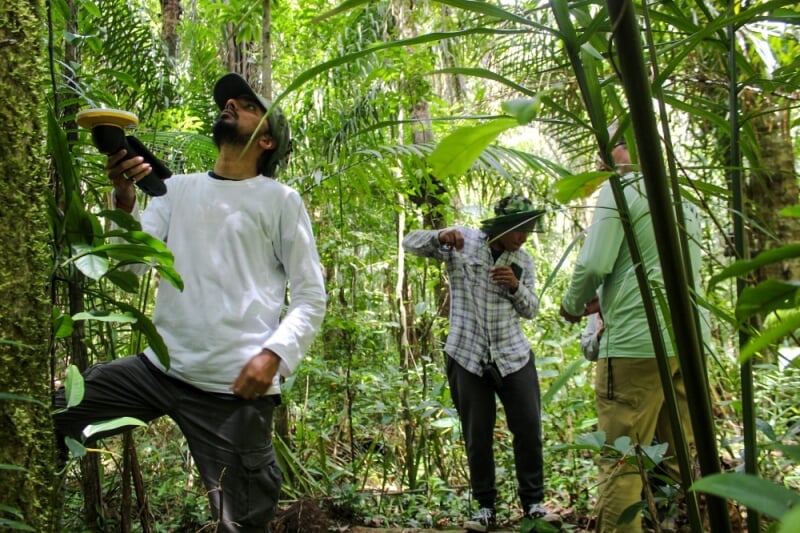
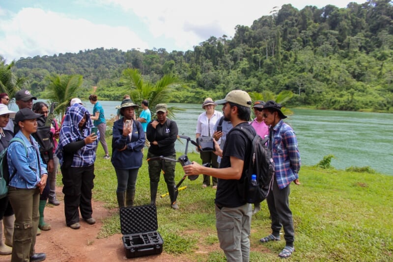
In Natural Resource Management, for example, GIS technology is employed to conduct forest inventories to assess the current state of timber resources. This inventory might involve gathering information on the composition, structure, and health of forested areas, which includes data on tree species, age, height, diameter, canopy cover, and distribution. In this scenario, forestry professionals would collect spatial data using various methods, such as remote sensing techniques (e.g., satellite imagery, LiDAR), GPS, and field surveys. These data would be then be analyzed by GIS software.
Intrigued by the possibilities of GI Science? Michigan Tech offers a practical, 9-credit graduate certificate that equips students with the foundations of Geographic Information Science as they are used in Natural Resources.
Dive Deeper Into Michigan Tech's Online GIS Program.
What Courses Will You Take?
This compact online certificate is flexible enough to fit around the demands of your life, your job, and your other responsibilities. All students will take the same three foundational courses plus a one-credit elective.
Required Courses
Additional Course (1 Credit)
To complete the full 9 credits for earning the certificate, students will take a "Seminar in GIS" (FW5801) class. Alternatively, if they have an equivalent/relevant class in GIS/RS/Data Science/Statistics, they may count that as well. Please speak to Program Director Dr. Parth Bhatt for more details about what qualifies for this additional credit.
Why Learn About the Foundations in Geographic Information Science at Michigan Tech?
When you earn your online certificate from MTU, you'll receive a quality education. In fact, Michigan Tech is ranked the #3 best accredited online college in Michigan (EDsmart, 2024). When you study with us, you'll also get the following:

A Versatile, Interdisciplinary Certificate
This online program provides competencies and training that allow you to build on your experiences and expertise, whether it is in forestry, geosciences, social sciences, civil engineering, environmental engineering, and more. Get skills you can apply in your current job OR a for future career.
An Education From the Best
Get instruction from Parth Bhatt who is not only a passionate instructor, but also an innovator with a breadth of real-world, international experience in GIS, Remote Sensing, GPS, Geospatial data analysis, machine learning, Python, R, ArcGIS Pro, WebGIS, and more.
Customizable Learning Goals
Choose the learning path that aligns with your personal and professional goals. Take one course to accelerate in your current career and earn 3-credits. Or take all three courses, in any order, and earn an the full online certificate.
What Have Some Former Students Said?
"I have been able to implement all of the skills you have been teaching into my daily work to be more efficient, accurate and overall better at my GIS work. Those around me are impressed with the new tools I have been able to bring to the table, the efficiency I have gained, and the end result products that I am putting out. My office's GIS program for DBM, analysis and presentations have been complemented greatly over the past few months.."
" I very much enjoyed the course. You were prompt to respond to emails and very open to meeting with students when they wanted to. My personal life is very busy as I work full-time for the Michigan DNR, have a working spouse, a toddler and our 2nd little one on the way. Coming back to school while having a family to care for was a difficult challenge but your methods and efforts made me feel confident in being able to complete this class successfully. For my learning style and capability I would not change anything in this course."
Who Uses Geographical Information Science?
In general, GI Science is a versatile skill set, used by global professionals in a number of workplaces, such as the following: natural resource management, government agencies, environmental and conservation organizations, urban and regional planning, real estate and property management, insurance industry, and the energy sector.
And, as the field of GIS continues to evolve, professionals with GI Science experience will likely find additional opportunities in emerging areas and industries that leverage location-based data for decision-making and innovation.
Whether working in your community, in the US, or abroad, the Online Certificate in Geographic Information Science in Natural Resources will prepare you for several career paths.
Possible Career Paths
- Conservation Scientist
- Environmental Consultant/Planner
- Forester
- GIS Analyst/Technician
- GIS Project Manager
- Natural Resource Manager
- Wildlife Biologist
- Remote Sensing Specialist
Learn More About Dr. Parth Bhatt.
Parth Bhatt
- Assistant Teaching Professor/Researcher
- Program Director, MGIS Online Program
- GIS & Remote Sensing, MichiganView Member
- ppbhatt@mtu.edu
- 906-487-2291
- Noblet Building 189-190
Get Started On Your Online GIS Certificate.
Take the next steps on your online educational journey at Michigan Tech. We are here to answer your questions and to help you succeed in your online program.


