
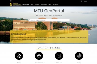
MTU GEOPORTAL
An excellent source for geographic data at Michigan Tech. This GIS data portal allows users to find, share, and create geospatial data. Most of the datasets in this data portal are focused on the state of Michigan with an even great focus placed the Upper Peninsula. The Geoportal contains a lot of high-resolution aerial imagery and digital elevations models (DEMs). VIEW THE MTU GEOPORTAL.
OTHER GIS DATA SOURCES
A list of GIS data sources from around the Web for Michigan, the United States, and GIS data for the world. VIEW LIST.
Need helping finding GIS data? Submit a Service Request