
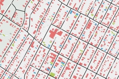
GIS PROJECT CONSULTATION
Our GIS Librarian offers personalized consultations to help you navigate the complexities of a geographic information systems project. Whether you're selecting the appropriate GIS tools, choosing the right software, or identifying the most relevant datasets, we're here to support every step of your project. Schedule a one-on-one session to refine your research approach, enhance your project’s impact, and ensure you're using the best resources available.
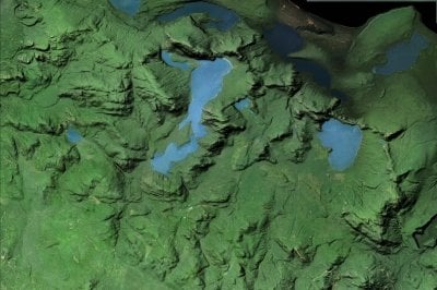
GIS DATA DISCOVERY ASSISTANCE
If you need assistance locating data or sources of data for your research project, a librarian is here to help. We’ll help you locate, access, and evaluate the most relevant GIS data sources to meet your specific needs, ensuring that you have the foundation necessary to build a successful project. Connect with us to explore the world of GIS data and enhance your research capabilities.
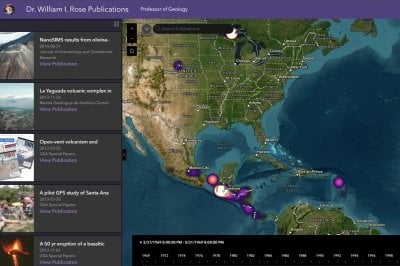
GIS MAPPING RESEARCH LEGACY
Emeritus faculty can preserve their research legacy at Michigan Tech through a GIS web mapping allication service at the Library. This interactive tool visually maps the geographic locations of a faculty member's research publications, offering a dynamic representation of their scholarly impact. With an intuitive interface, users can explore an interactive map where research sites are pinpointed and connected to corresponding publications. A time slider feature allows viewers to see how a faculty member's research contributions have evolved over the years, creating a living timeline of their academic journey. This digital archive not only honors their contributions but also provides a valuable resource for current and future scholars. If you are an Emeritus Faculty member and are interested in having one of these applications build for you, please Submit a Service Request.
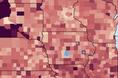
GIS WORKSHOPS
Build your GIS skills with our interactive workshops at the Van Pelt and Opie Library. We offer a range of sessions to help you get started with key GIS tools and techniques, including creating Web Maps, developing engaging Story Maps, and using GIS software. Whether you're a beginner or looking to deepen your knowledge, our workshops provide practical, step-by-step instruction to help you confidently apply GIS tools in your research or projects. Join us to expand your capabilities and explore new ways to visualize and analyze geographic data.