Drones make bridge inspections safer and easier to document. A complementary 3-D bridge app developed by the Michigan Tech Research Institute also streamlines defect records.
Bridging basic and applied research is more than a metaphor. There are 612,677 bridges in the U.S. and the annual Federal Highway Administration 2018 bridge deficiency report finds that more than 54,000 of them have at least one key element that is in poor or worse condition. The state of Michigan ranks 16 nationally with 1,175 structurally deficient bridges, about 10.5 percent, which sits above the national average.
The traditional way to document bridge defects is to send out a human in a hard hat and vest, and write down — on paper — information such as the amount and locations of problems such as cracks, spalls, and delaminations. Remote sensing experts at the Michigan Tech Research Institute (MTRI), led by research scientist Colin Brooks, have been updating the process, working with colleagues in Michigan Tech’s Department of Civil and Environmental Engineering and Department of Geological and Mining Engineering. Brooks and his team use unmanned aerial systems (UAS or drones) to access hard-to-reach locations, compile big datasets and explore defects in detail using a 3-D app. There is no replacing people in the assessment — human eyes and judgement are crucial — but technology can speed up and make bridge inspections safer, helping set aside more time and money to fix structurally deficient bridges.
“We need to know if we can get from point A to point B,” Brooks said. “An important component of mobility is being able to understand whether or not the transportation system you’re looking at can effectively move goods and people based on the condition of the infrastructure.”
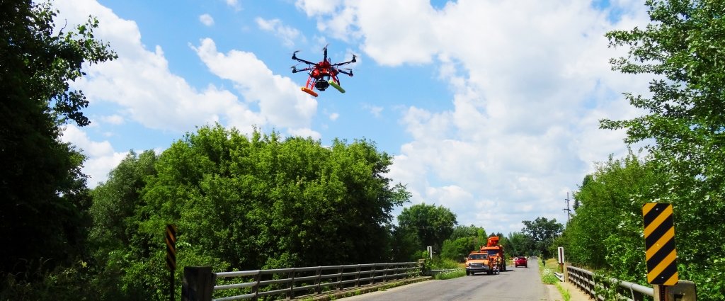
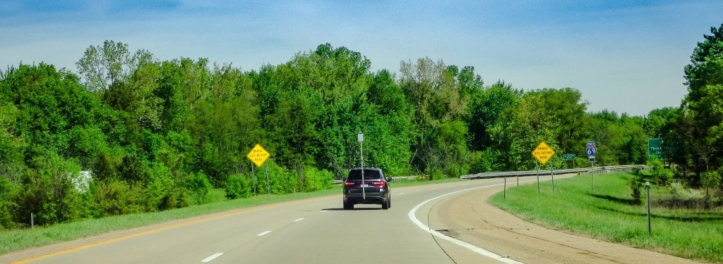
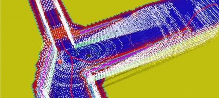
The following images are examples of the photos Brooks and his team collect in their research.
3D BRIDGE App
Bridge inspections balance speed and precision. On one hand, they need to be thorough and document every potentially compromised element. On the other hand, there are thousands of bridges that need attention and inspectors do not have enough time to patiently jot down paper notes in the field and transfer them to digital reports back in the office. A mobile interface showing a 3D model of the bridge undergoing assessment saves inspectors time by enabling them to record location-specific information on problem areas and then upload field data and notes straight into a bridge management system.
“This is what the 3D BRIDGE app does,” Brooks said, “and it is being implemented by the Michigan Department of Transportation under a current collaboration.”
Of course, a 3-D model is only as good as the data going into it. And that is where Brooks and his team’s true specialties reside — in collecting 3-D data about a bridge, creating 3-D bridge models and making it easier to record and access this information to help with managing and repairing our bridges.
Drone Remote Sensing
The formal name of a drone is an unmanned aircraft system (UAS) and they are subject to specific rules set down by the Federal Aviation Administration. Because UAS are remotely operated and can carry camera equipment, they are ideal for bridge inspection work in addition to other applications.
“We can do things from the air, from vehicles, we work with the Great Lakes Research Center to do surface water and underwater surveys, we do 3-D sensing,” Brooks said. “It all depends on what the phenomenon is that you’re trying to understand.”
In bridge inspections, documenting defects is not as simple as flying a drone and taking a few photos. Several of the drones Brooks uses, including a hexacopter and quadcopter, fly in 20-minute runs within line of sight below 120 meters (400 feet) and are outfitted with photogrammetry and thermal imagery gear that picks up nuances beyond what the human eye sees. That means they can fly 100 meters above a 15-hectare region (330 feet above 40 acres) with a resolution of 5 cm (2 inches). Even better resolutions are available when flying at lower heights. In other words, the drone can sit on top of the Portage Lake Lift Bridge and pick out a caterpillar crawling on the sidewalk handrail — or a crack in the bridge deck — and still see the little critter if the UAS rose another 100 feet above the bridge.
Brooks explains that remote sensing’s power is in more than the details; interpreting the imagery data to extract useful information for managing transportation assets is the heart of his work.
Next Steps
The research’s value lies in being able to discern whether or not the data is solid.
“We focused a lot on being able to create objective and repeatable data to help assess bridges,” Brooks said, adding that the economics of implementing new tech is also important. “Drone surveys don’t have to be expensive. We run drones that cost less than $10,000 to do nearly all of our work.”
Making sure drones, remote sensing and apps are both verified and cost effective makes the tech more appealing to private companies as well as state transportation departments. Brooks says the team is working with several companies and will also be helping MDOT implement the 3D BRIDGE app and drone-based condition bridge inspection into their day-to-day workflow.
“New sensors, new platforms seem to come online several times a year — so how do we take advantage of that rapid innovation and hardware and make them available on a practical basis?” Brooks said. “Somebody has to do the testing to make sure the tech collects what’s needed and that’s part of the niche we fill."
Mobility — the movement of goods, people and information — can only happen when the underlying infrastructure is working. Bridges are particularly vulnerable. Brooks and his team make mobility happen by ensuring the equipment used for bridge inspections goes above and beyond (and beside and under) the current status quo and fulfills the promises of new technology.
Michigan Technological University is an R1 public research university founded in 1885 in Houghton, and is home to nearly 7,500 students from more than 60 countries around the world. Consistently ranked among the best universities in the country for return on investment, Michigan's flagship technological university offers more than 185 undergraduate and graduate degree programs in science and technology, engineering, computing, forestry, business, health professions, humanities, mathematics, social sciences, and the arts. The rural campus is situated just miles from Lake Superior in Michigan's Upper Peninsula, offering year-round opportunities for outdoor adventure.


Comments